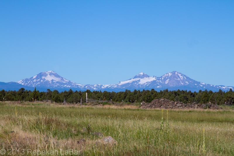
On Saturday my parents and I drove down to visit my grandparents in central Oregon, where my sister met up with us as well. We had to take a longer-than-normal way down, as a wildfire in south central Washington had forced the highway over Satus Pass to be shut down. Sadly the weather in the Northwest has been prime lately for fires, and we saw a fair amount of smoke around on the drive down and back.
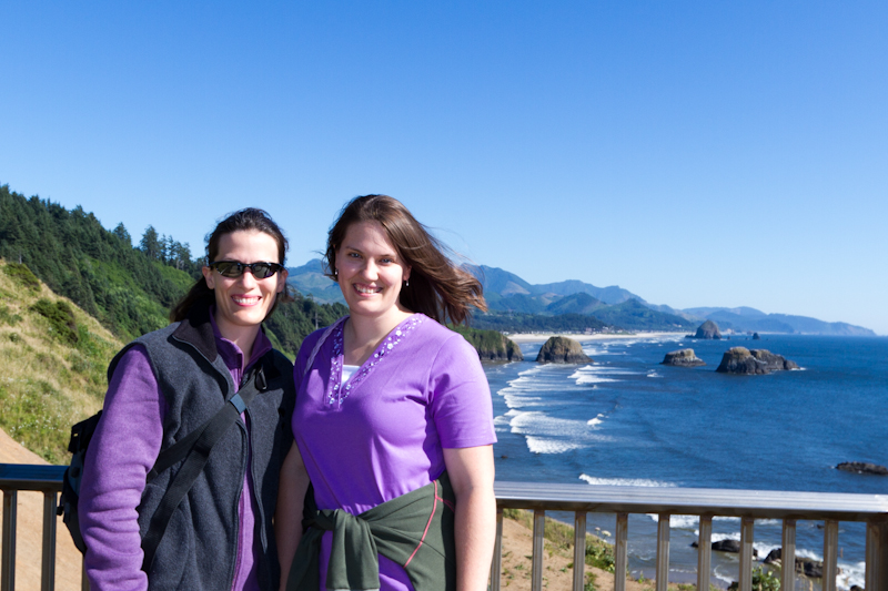
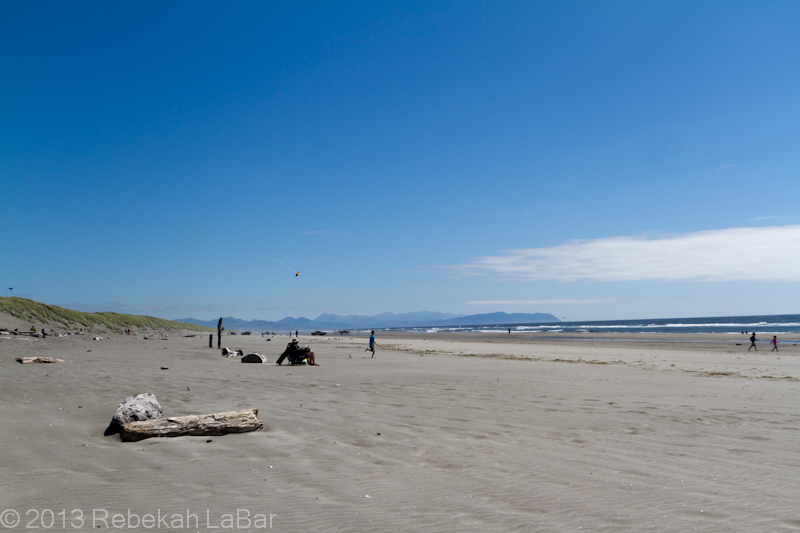
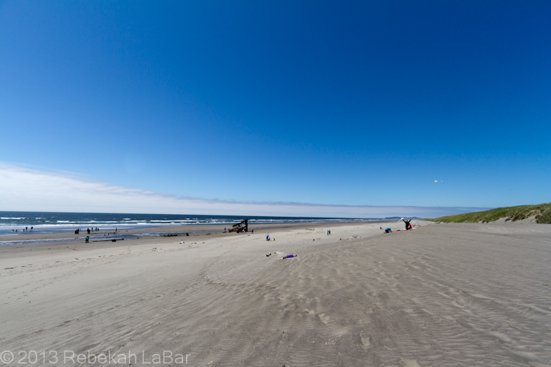
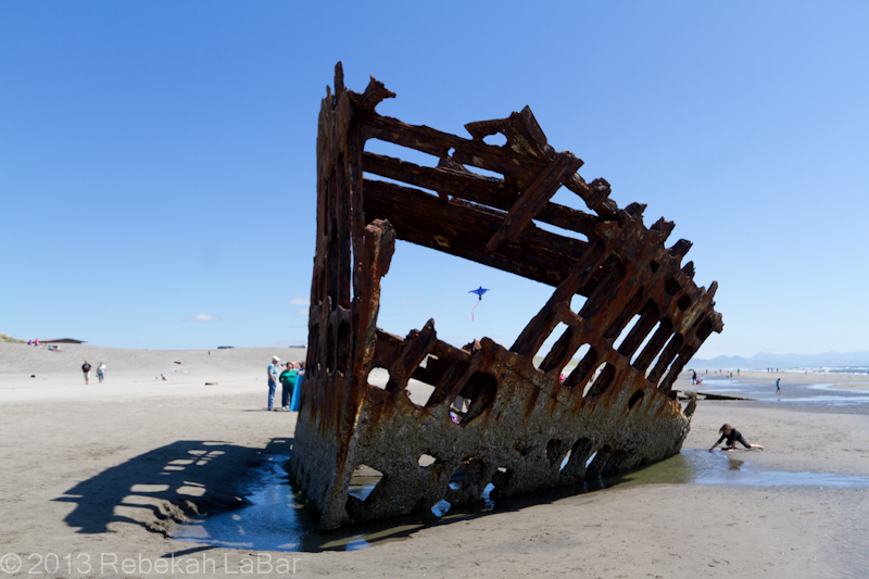
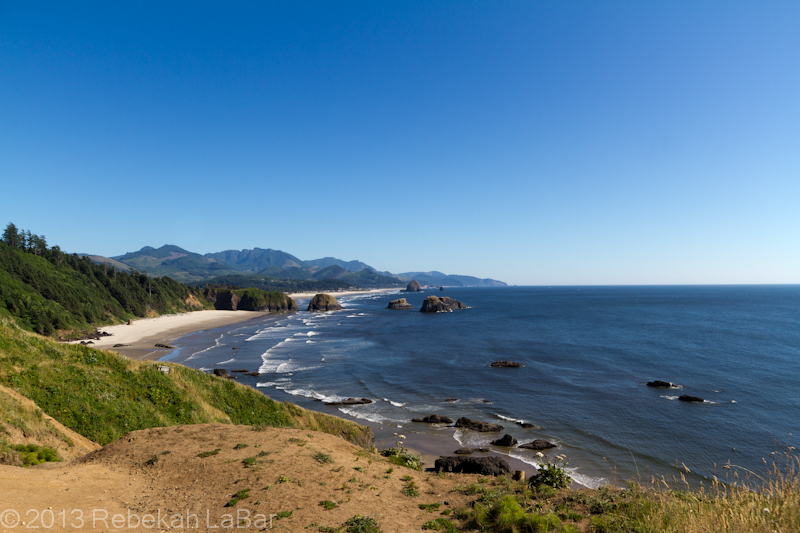
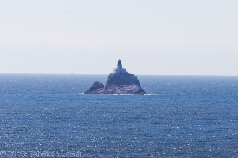
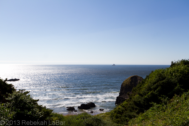
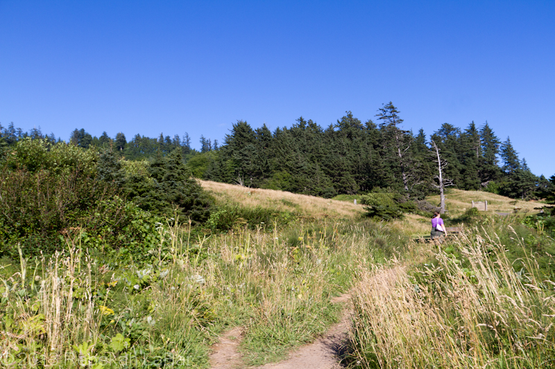
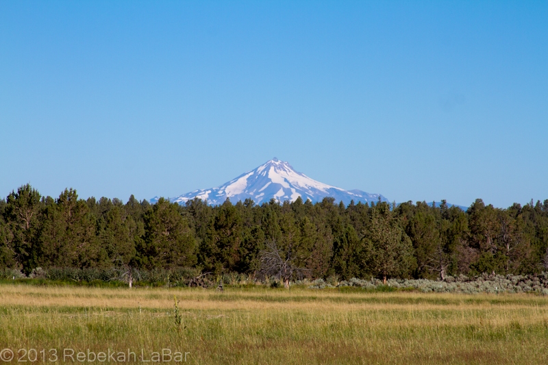
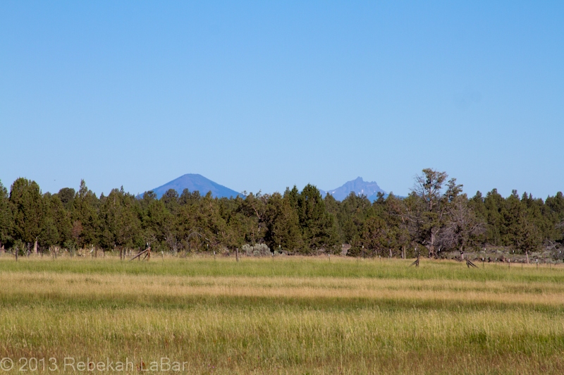
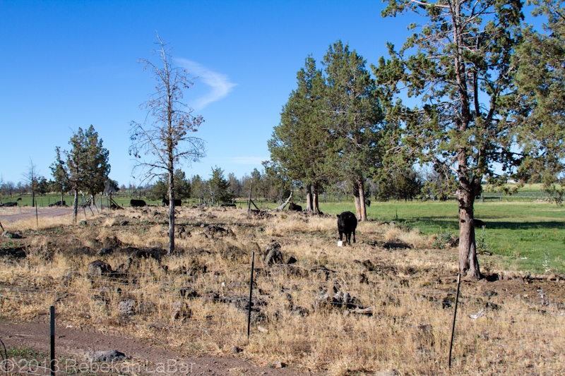
It was a quick overnight trip to the ranch, but good to go down there in the midst of this larger whirlwind trip. Here are a few other photos I took there of the lovely views.
Coming back, as we crested the last ridge before looking down into Kittitas Valley (where my parents live), we got a good look at the smoke from a new fire growing on the opposite ridge.
What I was most fascinated with was the towering pyrocumulus clouds.
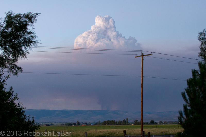
The basic principle behind cloud formation is water vapor condensation onto tiny particles called cloud condensation nuclei (CCN). These CCN could be sand, dust, salt, … or in this case ash.
A fire in effect seeds the atmosphere, and the hot air above the flames can generate rapid and robust convection (rising air) that results in a puffy-looking (cumulus) cloud if there is enough moisture in the air.
Such cumulus clouds that form as a result of fires and volcanoes are known as pyrocumulus, or even pyrocumulonimbus if they grow large enough to produce a heavy shower or thunderstorm.
While the phenomenon is not uncommon, I had rarely seen such a well-defined example. A visible satellite loop from yesterday shows a series of pyrocumulus forming over the fire’s hotspot, and then moving off to the east (due to upper-level winds) as others form over the fire.
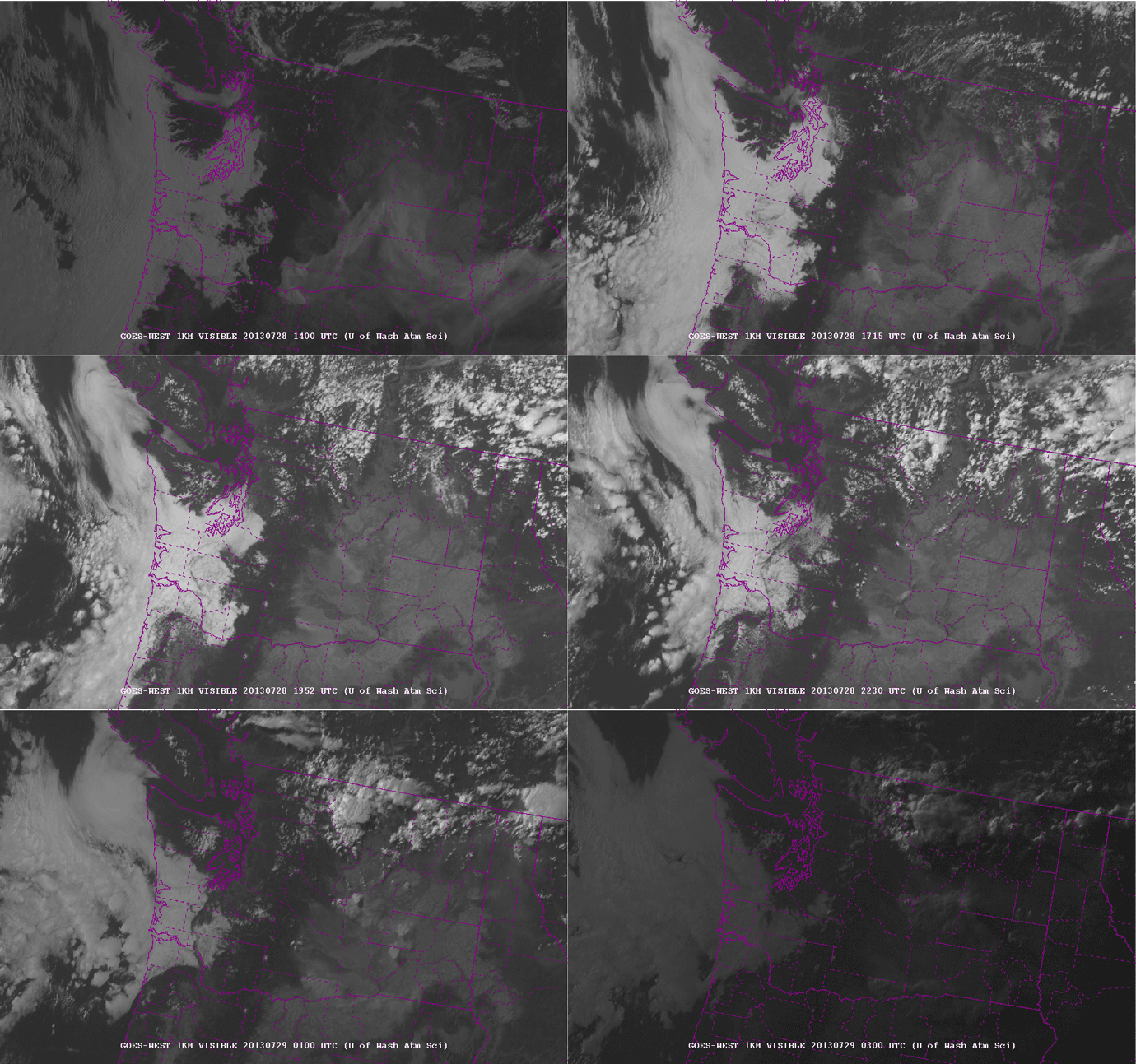
The fire in the northeast corner of Kittitas County (center of the state) is evident from the eastward-moving smoke plume. Later in the afternoon, about 3pm (2200 UTC), you can start to see the series of whitish knobs forming on top of the fire. These are the pyrocumulus. They really start to explode around 5 to 6pm (0000-0200 UTC).
As an aside you can also see the fire in south central Washington, although there are not so many pronounced pyrocumulus clouds on the smoke plume.
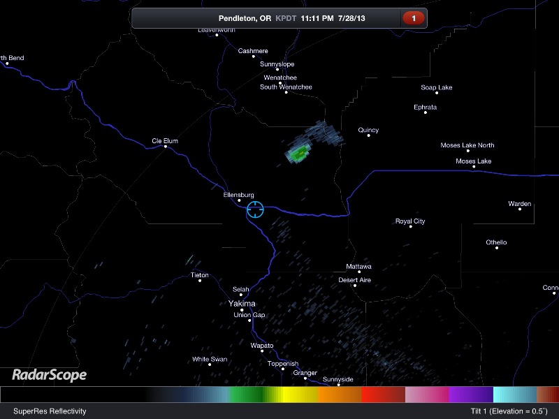
There may have been a little bit of rain falling from the cloud, but a radar loop yesterday showed a stationary spot of reflectivity that was in the location of the fire. Fires are not always visible on radar, but sometimes they are large enough for the ash particles to reflect the radar beam and appear to be stationary “rain” showers.
I didn’t save a loop, but here’s a single image showing the fire last night.
Ok, nerd moment over. For now. 🙂
Here’s hoping the firefighters get some better weather for fighting the fires, and everyone and their homes stay safe.

